

Keith Bellingham, of Stevens, reports that soil hydrology is an emerging science with many new applications ranging from water resources, food security, and climate change. In situ soil moisture data has become key to our understanding of a major component of the hydrological cycle. Soil properties are discussed at length because the soil properties can strongly influence the behavior of water movement and analytical measurements. With the wide variety of applications involving soil moisture sensors, the study of soil geomorphology can provide insight into the interpretation of soil moisture as well as key insight into the vertical and horizontal placement of soil moisture sensors as well as an overall deployment strategy.
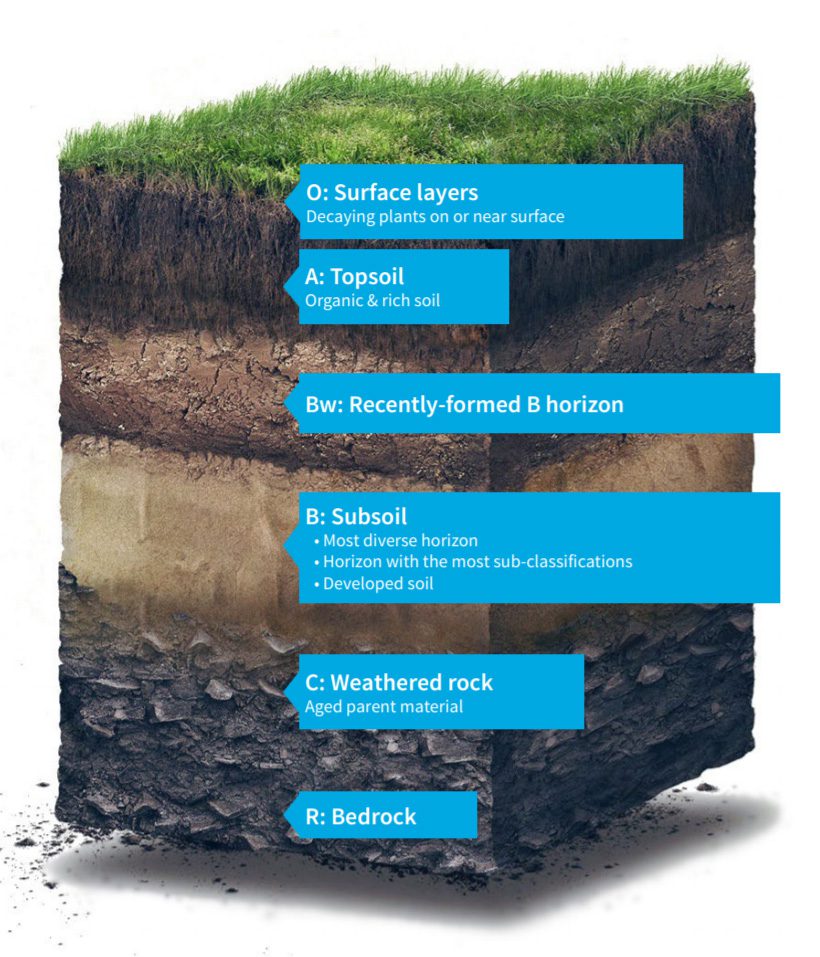
Soil geomorphology is the science of how soil forms over time. Soil can be defined as the porous media covering Earth’s land surface. Soil is complex physically, chemically, hydrologically, and biologically. Soil is composed of mineral components and contains a habitat and ecosystem of microorganisms that can be both carnivores and herbivores. A spade full of soil contains billions of organisms and thousands of species. Soil represents a significant proportion of the earth’s biodiversity. Soil is a living and breathing world that is as biologically diverse as a rain forest.
Knowledge of soil geomorphology and soil properties provides insight into the interpretation of soil moisture data and the vertical or horizontal placement of soil moisture sensors. An understanding of soil properties and formation is very helpful in determining the overall field deployment strategy for meteorological stations making the most out of the available funds and resources.
Read on ...
Managed & Built by I2M Consulting, LLC | © 2010-
